Terrebonne sits at 45.6952° N, roughly 14 meters above the Mille Îles River. That low elevation, combined with post-glacial clay deposits, means every deep excavation here contends with high groundwater and a short construction season. When the spring thaw hits in late March, pore pressures shift fast. The technical team at our laboratory tracks those changes with automated inclinometers and piezometers, feeding data directly to the site supervisor. For projects near the Rivière des Mille Îles, where dewatering can affect neighboring properties, we often pair excavation monitoring with a CPT test to map the clay-silt interface before shoring design begins. The goal is simple: catch movement before it becomes a problem.
In Terrebonne's post-glacial clays, a 2 mm/day deformation rate is the difference between a stable cut and a morning evacuation.
Methodology applied in Terrebonne
- Automated total station monitoring with 0.5 mm precision
- Vibrating wire piezometers for pore pressure tracking
- Real-time cloud dashboard with SMS alert thresholds
- CSA S832-compliant vibration monitoring during rock chipping
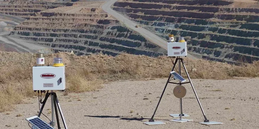
Local geotechnical conditions in Terrebonne
The main instrument cluster sits on a tripod at the edge of the cut, aiming a robotic total station at prisms mounted on the shoring wall and neighboring foundations. If you skip monitoring in Terrebonne, you are gambling with Champlain Sea clay. This material behaves elastically until it does not. Sudden loss of suction in a silty lens can trigger a retrogressive slide, especially during a wet October when the water table rises. The cost of repairing a foundation crack on a heritage building along Boulevard des Braves far exceeds the monitoring budget. The real risk is not the equipment failing; it is the contractor assuming the ground will behave the same way it did last week. It will not.
Our services
Our monitoring approach in Terrebonne is built around three core service modules. Each one can be deployed independently or combined for full-coverage instrumentation on deep excavation projects.
Automated Deformation Monitoring
Robotic total stations track prisms on shoring walls and adjacent structures at 15-minute intervals. Data is accessible via a secure web portal, with automatic SMS alerts if movement exceeds predefined thresholds.
Pore Pressure & Groundwater Control
Vibrating wire piezometers installed in boreholes around the excavation perimeter. We monitor head changes during dewatering and correlate them with settlement markers to prevent consolidation damage in the surrounding clay.
Vibration & Crack Monitoring
Seismographs record PPV during rock chipping or blasting near sensitive structures. Crack gauges on adjacent buildings provide a continuous record of opening displacement, compliant with CSA S832 guidelines.
Questions and answers
What is the typical cost range for excavation monitoring in Terrebonne?
Monitoring programs in the Terrebonne area typically range from CA$1,190 for a short-term crack gauge setup to CA$3,540 for a comprehensive automated system with inclinometers, piezometers, and a cloud dashboard over a three-month period. The final cost depends on the number of instruments, monitoring duration, and site access conditions.
How quickly can monitoring equipment be deployed on a Terrebonne site?
For standard installations, the field crew can have inclinometer casing, piezometers, and survey prisms installed within two working days of mobilization. Automated total stations and the cloud dashboard are typically operational by the third day, provided stable power and data connectivity are available at the site.
What triggers an alert during monitoring, and how is it communicated?
Alerts are triggered when any instrument exceeds its predefined threshold, such as 2 mm/day of horizontal displacement or a 5 mm/s PPV on an adjacent residential structure. The system sends an immediate SMS and email to the designated site supervisor and engineer of record. A follow-up phone call is placed if the reading is not acknowledged within 15 minutes.