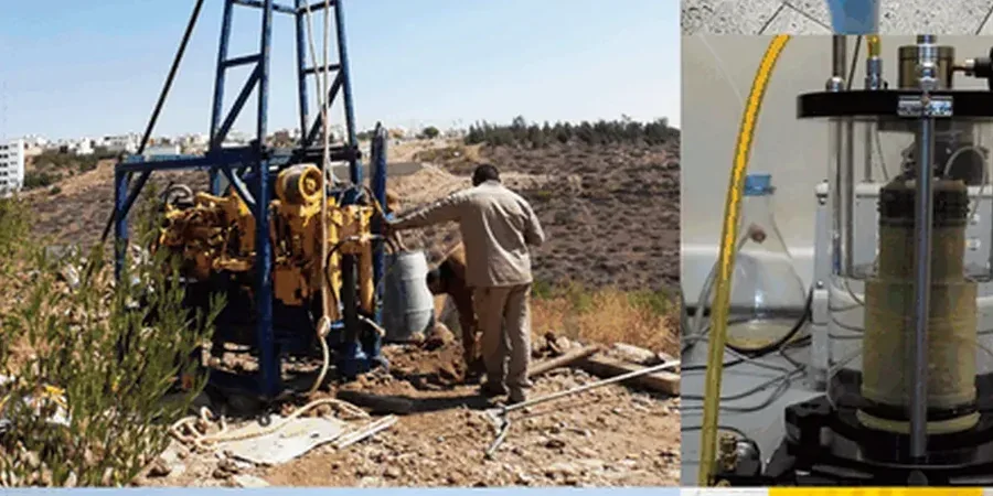
Terrebonne sits at 13 meters above sea level on the north bank of the Mille Îles River. That low elevation means a water table often just 2 to 3 meters below the surface. Any excavation deeper than a single basement level in Terrebonne hits groundwater. We see it on every project. The Champlain Sea clay dominates the local stratigraphy. This marine clay is sensitive. It loses strength when disturbed. For a 12-meter cut on Île-des-Moulins, the pore pressure regime dictated the shoring system. We apply numerical modeling to predict wall deflection before the first bucket of soil is removed. Borehole data from the area confirms a stiff till layer at depth. Anchoring into that till provides the resistance needed for cantilever walls to stay within deformation limits. A cone penetration test refines the stratigraphic profile in zones where clay sensitivity varies sharply over short distances.
Champlain Sea clay loses 50 percent of its peak strength when remolded. In Terrebonne, a small groundwater leak can cascade into a basal failure.
Methodology applied in Terrebonne
Local geotechnical conditions in Terrebonne
A contractor on Rue Saint-Louis encountered a buried peat lens at 7 meters depth. The excavation was dry. The wall looked stable. Then the peat compressed under the surcharge from adjacent footings. The wall rotated 80 millimeters inward. Gas lines strained. The project stopped for three weeks. Basal instability in Terrebonne does not always announce itself with a dramatic blowout. Sometimes it comes as slow creep in organic layers that boreholes missed at 30-meter spacing. Deep excavations within 50 meters of the Mille Îles River face additional risk from riverbank seepage. The hydraulic gradient steepens during low tide. Fine particles migrate. The passive resistance zone degrades silently. We specify real-time inclinometer arrays and piezometer strings for all cuts exceeding 6 meters in the riverside corridor.
Our services
The scope of a deep excavation design in Terrebonne extends beyond wall selection. Each project involves a sequence of specialized analyses tied to the local geology.
Shoring system analysis
We model soldier pile and lagging walls, secant piles, and diaphragm walls using finite element software. The Champlain clay's strain-softening behavior is explicitly modeled to capture post-peak strength loss.
Groundwater control plan
Dewatering design for the high water table includes wellpoint systems and deep wells. We calculate the radius of influence to predict settlement at neighboring properties.
Basal stability assessment
We evaluate factor of safety against heave using the Terzaghi and Bjerrum-Eide methods. Where artesian sand lenses exist, we design relief wells to prevent blowout during final cut.
Questions and answers
What does a deep excavation design cost in Terrebonne?
For a typical urban project in Terrebonne, the geotechnical design package ranges from CA$2,600 for a straightforward single-level cut to CA$11,810 for a multi-level excavation with tiebacks and comprehensive instrumentation. The fee depends on the depth, proximity to the river, and the complexity of the groundwater control system required.
How far from the Mille Îles River is considered a high-risk zone for excavation?
We classify any excavation within 50 meters of the riverbank as high-risk. The hydraulic connection between the river and the excavation increases seepage forces. Fine-grained soils in this corridor are more prone to piping and passive zone degradation. Projects within this zone require continuous piezometer monitoring and a solid dewatering contingency plan.
Can sensitive Champlain clay support a vertical cut without a shoring system?
Short answer: no. Champlain clay in Terrebonne has a sensitivity ratio often exceeding 30. Even a 2-meter unsupported cut can slump within hours if the clay dries or vibrates. Any excavation deeper than 1.2 meters requires a designed shoring system. The design must limit wall movement to protect adjacent infrastructure on this sensitive soil.